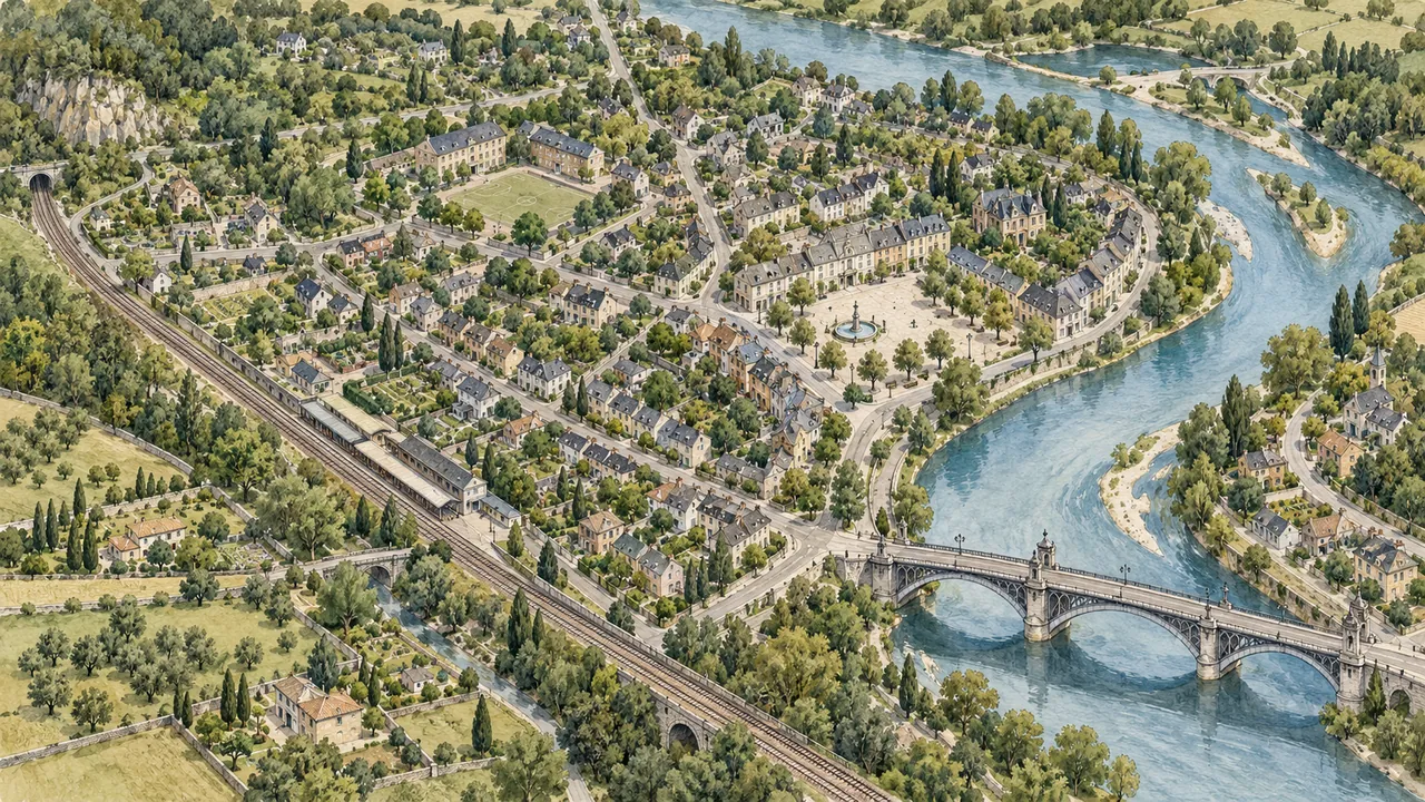
You remember a bridge, a school gate and the sound of a train, but not the name of the street where you lived. Finding a place from childhood can begin with the relationship between those details. A road may have been renamed, a building demolished or a route remembered from a child's point of view. This guide helps you compare recollection with dated maps and public local-history material. The goal is a supported location hypothesis, not a confident-looking map pin built from a familiar feeling.
1. Draw the route as you remember it
Make a rough sketch before consulting a modern map. Put the school, a river, a station or a market in the order you remember encountering them. Mark uncertain directions and approximate distances. A childhood walk that felt very long may have covered only a few streets, so record the sequence of landmarks rather than treating the remembered travel time as a measurement.
Add a period and explain where it comes from: an album date, a family move or a school year. Keep a copied family statement separate from your own memory. A person can remember a real feature while placing it in the wrong year or combining two different neighborhoods. Writing the account first makes later changes to the hypothesis visible.
2. Choose anchors that are likely to be distinctive
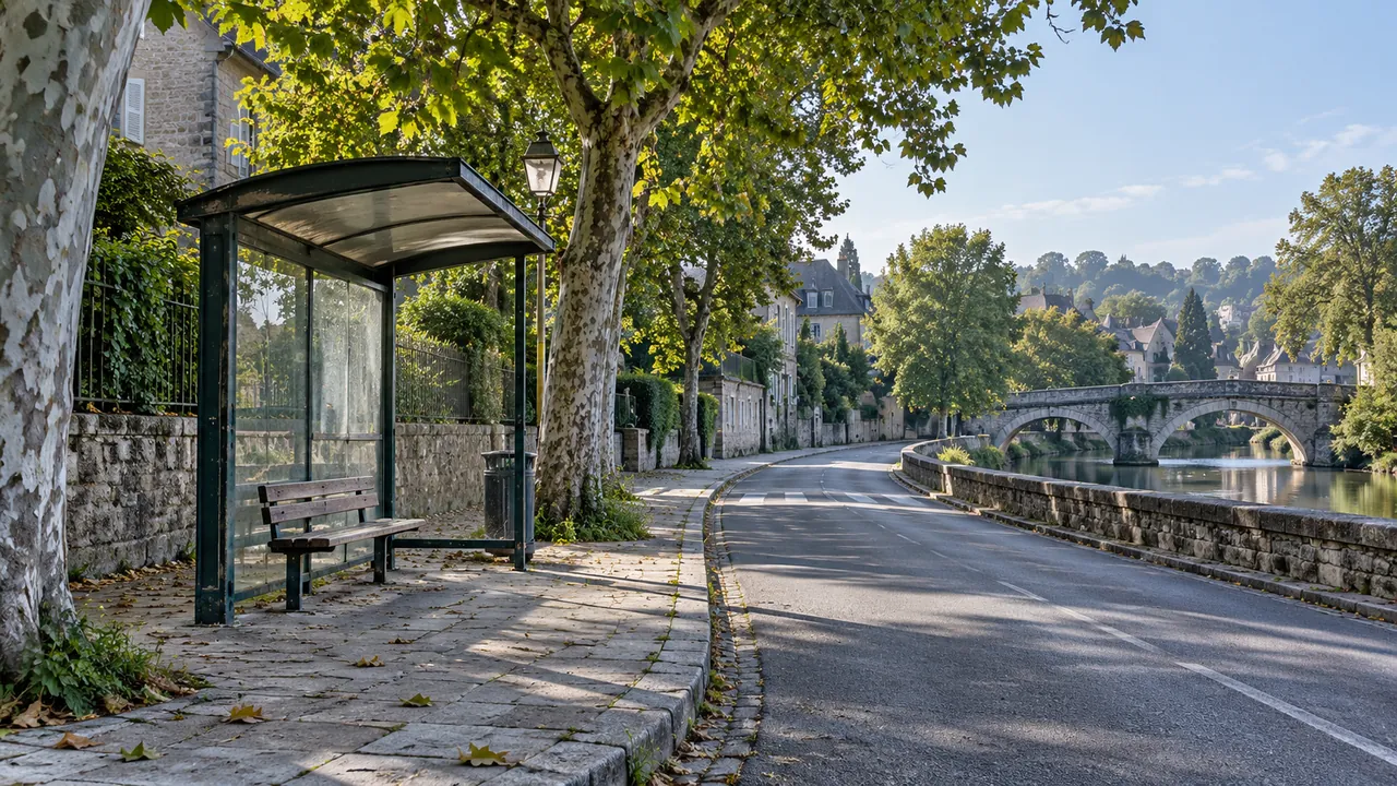
Start with combinations rather than isolated objects. A school near a river bend and a railway crossing is more useful than a recollection of a blue door. Bridges, hills, old stations and major street patterns can help organize a search, but none is guaranteed to have survived. Record a landmark's shape, its relation to the route and why you consider it relevant.
Divide the anchors into those you recognize strongly and those you only vaguely recall. Avoid adding a feature simply because it appears in a promising map result. If a relative remembers a different route, keep the two accounts attributed. A useful disagreement can reveal that you are comparing a journey from different homes or different periods.
3. Search for historical names and local collections
Look for the town's local-history library, municipal archive or museum. Search for earlier neighborhood and street names alongside the date range. Changes in administrative boundaries can affect how a place is catalogued, so note the authority and terminology used by the collection. A modern search box may not recognize an older spelling that remains visible in a dated catalogue.
Ask a focused collection question: which maps or street directories cover this area around the years in your notes? Do not ask an archive to identify a current resident from an old address. Historical location research and finding a living person's present home are different tasks. The former can often proceed without collecting any current personal information.
4. Compare maps of the same area across time
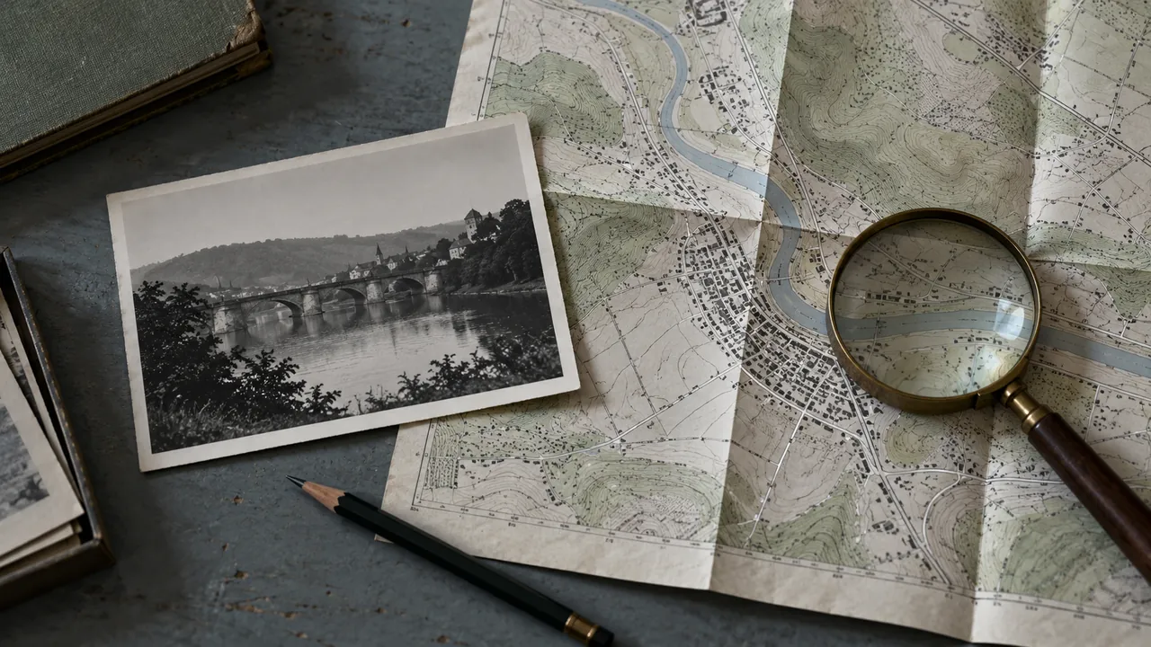
Select maps with a stated date and enough detail for your question. In the United States, the Library of Congress Sanborn guide is one example of a geographically limited historical-map resource. It is not a worldwide service or a promise of coverage for every neighborhood. For another country, look for the relevant local or national mapping collection.
Compare street intersections, watercourses, railways and public buildings before concentrating on a single house. Read the map's scale and legend. Two sheets may use different orientations, boundaries or purposes. Keep the source, map date and sheet reference in your log, and distinguish a feature drawn on a historical map from one you can confirm on a current map.
5. Add photographs and directories without overreading them
An old photograph can help compare roof lines, terrain or a distinctive public building. Write down what is actually visible before naming a location. A family caption is a source to evaluate, not an automatic guarantee. Our guide to clues in old photographs explains how to keep observation and interpretation apart.
Public historical directories can sometimes connect an earlier street name with a dated local context. The New York Public Library's city-directory guide describes one regional collection type; coverage varies elsewhere. A decades-old address should not be treated as a current address, and an absence from a directory does not prove that a family never lived in the area.
6. Build and challenge two or three hypotheses
For each plausible area, list the anchors it explains and the details that do not fit. A useful candidate may match the bridge and school but conflict with the railway's position. Keep that contradiction. Ask what evidence would distinguish the candidates, such as a map from a missing year or a photograph showing the other side of the square.
Avoid choosing the first place that feels emotionally familiar. A convincing story can grow around a weak match. Compare independent sources where possible and keep the result described as possible, likely or confirmed according to the evidence you actually have. If you cannot explain why one candidate is stronger, the research is still open.
7. Plan a visit or a documented memory
If you decide to revisit a possible neighborhood, plan around public streets, opening hours and ordinary access rules. A building you remember may now be someone's home or a restricted site. Do not enter private property or photograph residents as evidence of your own past. A visit can be meaningful even if a former building has disappeared.
Preserve the route sketch, dated sources and unresolved questions together. You can organize a private place-related request in MissToSee, without promising that the platform can locate every remembered setting. If old correspondence adds a street clue, use a careful letter index and our guide to changing place names to continue the search.
Compare possible neighborhoods
| Anchor | Candidate A | Question to resolve |
|---|---|---|
| River and bridge | Similar position | Does the historical map show the same crossing? |
| School route | Sequence partly matches | Was the school at that site in the relevant years? |
| Railway line | Current map differs | Was the line moved or removed? |
| Street name | Modern name unknown | Is an earlier name documented? |
The idea in 24 seconds
Original silent visual summary. Choose your subtitle language in the player, or read the summary below.
Read the video summary in English
- Sketch your remembered route — Put landmarks in order and label uncertainty.
- Choose dated sources — Compare historical and present-day geography.
- Challenge the candidate — Keep the details that do not fit.
- Preserve the conclusion carefully — Record sources and respect today's residents.
Before you start: a checklist
- Sketch the remembered route first.
- Record the period and its source.
- Choose distinctive combinations of landmarks.
- Read map dates, scales and legends.
- Keep contradictions between candidates.
- Respect present-day residents and private property.
Questions and answers
Can I find a neighborhood without knowing the street name?
Sometimes a combination of landmarks, a town and an approximate period can narrow the search. It remains a hypothesis until dated sources support the location.
What if the street was renamed?
Search local-history collections for earlier names and compare maps from the relevant period. Keep the source of the name change rather than relying on a similar modern name.
Can an online map show what existed decades ago?
Some services and archives offer historical material, but coverage and dates vary. Check the date and collection description for each image or map you use.
Is a familiar-looking photograph enough?
No. Compare visible landmarks with independent dated material. Similar architecture or a strong feeling of recognition can still lead to the wrong place.
What if my childhood home is now private property?
Keep any visit within public access areas and respect the current occupants. Your connection to the past does not create a right to enter or publish information about residents.
Sources and further reading
These primary sources support specific points or offer further reading. Examples and templates are original editorial material, not quotations from these institutions.
- Library of Congress — Searching Sanborn maps
Source in English
- New York Public Library — City directories
Source in English
Original editorial guidance prepared with digital assistance. All images are AI-generated conceptual illustrations, not historical documents, actual people or verified locations. Examples are fictional. The silent video is a montage of these illustrations.