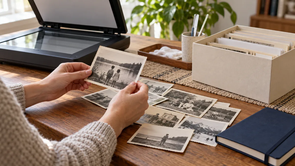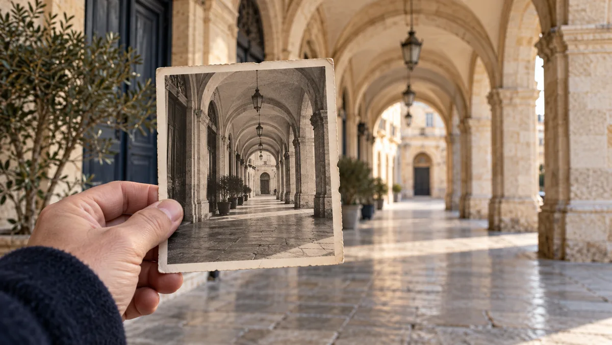
An arch, a hillside or a shopfront may make a location feel familiar. Familiarity is a starting point, not confirmation. Work from visible features to possible matches, and record uncertainty before a convincing story takes the place of evidence.
Describe what is actually visible
Write down the roof shape, street slope, vegetation, shadows and legible signs. Keep guesses in a separate column. The National Archives' document-analysis tools provide a useful model for distinguishing what a source shows from what you infer.
Examine the original context
Check the back of a print, an album caption or a known sequence of photographs, with the owner's permission. Record who supplied a date or name. A handwritten label may have been added much later and should not silently become a verified fact.
Compare the landscape and buildings
Start with broad features before narrowing to an exact location. Similar architectural styles appear in many regions; one arch or doorway is rarely enough. Compare several angles and the relation between landmarks, allowing for rebuilding, vegetation changes and camera perspective.

The idea in 24 seconds
Original silent video with Arabic text. An English summary is available below; optional English subtitles can be enabled in the player's caption menu.
Read the video summary in English
- Observe — List visible features first.
- Compare — Use several independent clues.
- Date the sources — Check the coverage of maps.
- State uncertainty — A resemblance is not proof.
Use dated maps within their scope
Historic and modern maps can show changes in roads or names. USGS historical maps are an example covering the United States, not a worldwide database. Record each map's date and geographic coverage. Changing place names need their own checks.
Write a confidence statement
Use labels such as possible, plausible or independently supported, and state why. Ask the image owner before publishing. Illustrations and generated images on MissToSee are not location evidence. Turn your notes into a documented story only after separating clues from conclusions.
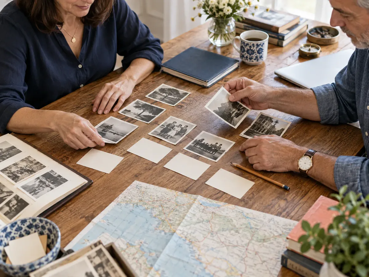
A simple clue log
| Observation | Possible explanation | Further check |
|---|---|---|
| Stone arches | A historic arcade | Compare spacing and surroundings |
| A hillside | A sloping district | Compare terrain on a dated map |
| A written label | A suggested place name | Ask who wrote it and when |
Before you start: a checklist
- Keep an untouched copy.
- Record observations separately.
- Note source dates.
- Compare multiple features.
- Explain the remaining uncertainty.
Questions and answers
Can one landmark prove the place?
Usually not by itself. Similar features, perspective and later changes can create a misleading match.
Can a generated image help confirm it?
No. An illustration is not historical or geographic evidence.
Should I post the photograph publicly?
Consider consent, copyright and whether it reveals a private address or people who did not agree to appear.
What if I cannot identify the place?
Keep the source and the uncertainty. An honest unresolved record is more useful than a confident guess.
Sources and further reading
These primary sources support specific points or offer further reading. Examples and templates are original editorial material, not quotations from these institutions.
- US National Archives — Document analysis worksheets
Source in English
- USGS — Historical maps at your fingertips
Source in English
- USGS — Geographic Names Information System
Source in English
Editorial material prepared with digital assistance. Images are illustrative, including digitally generated scenes; they are not documented tracing cases, testimonials or geographic evidence. The video is an original summary with no third-party footage.